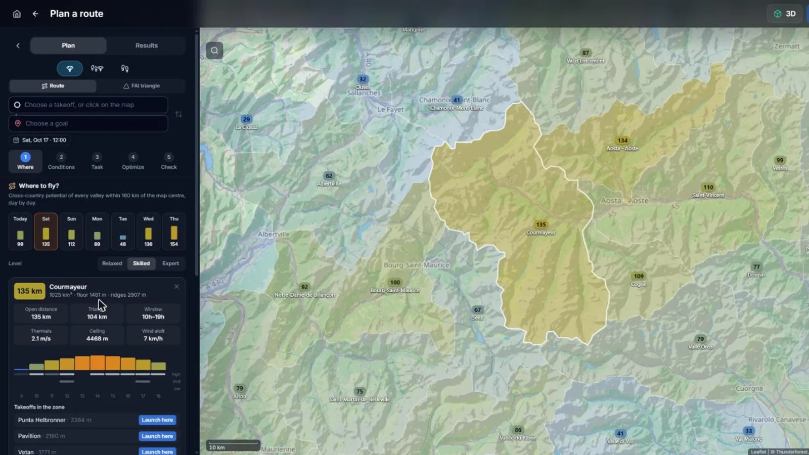
XCviewer cuts the Alps into 939 flying zones that follow the valleys, with their borders on the ridgelines, and forecasts each of them hour by hour: thermal strength, ceiling above the terrain, wind at flying height, low, mid and high cloud, rain and thunderstorm risk. It turns them into the distance you could fly that day with your own glider and level. Built on the same atmospheric physics as our forecast soundings and checked on past days against real cross-country flights.
What you get
- A map of the valleys around you coloured by the open-distance potential of the day.
- The best zones of each day of the week, with their flyable window, climbs and ceiling.
- Hourly climbs and the three cloud layers for any zone.
- The takeoffs of the zone: one click sets your launch and the planner continues.
Why it matters for you
- Choose the right valley before you drive, not on launch.
- See which day of the week is worth taking off work.
- Plan with your own glider and level, not a generic number.
Related features
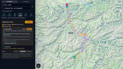
Route Optimizer
Place your turnpoints: XCviewer finds the best route and every climb for the day, the time and your glider.
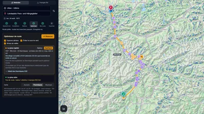
Hike & Fly Planner
Plan X-Alps style days: fly when it works, walk when it is faster, relaunch from summits.
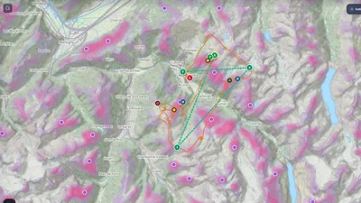
Thermal Model (neural network)
See where thermals are likely to trigger, by season and time of day, even where few pilots have flown.