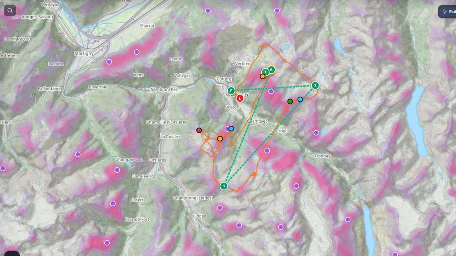
The XCviewer thermal model is a neural network trained on the thermal maps of 25 heavily flown regions in Europe, built from thousands of pilots' tracks (KK7). It learns the physics of mountain air rather than place names: slopes facing the sun with a two-hour delay, ridges and spurs where upslope winds converge, height above the valley, breaks of slope, seasonal snow and the valley breeze carrying heated air along the slope. Tested on regions it never saw during training, it ranks real hotspots much better than a classic terrain formula (AUC 0.84 against 0.70).
What you get
- A thermal trigger map for any mountain area, on a 150 m grid.
- Different behaviour by season (winter, spring, summer, autumn) and time of day.
- A side-by-side comparison with the KK7 map at the same moment.
- Climbs for the route optimizer where KK7 has too few tracks.
Why it matters for you
- Prepare flights at sites you have never flown, not only famous ones.
- Understand why a thermal triggers where it does: sun, terrain shape, converging winds.
- Validated region by region, with the results shown in the app.
The model uses terrain and sun, not the clouds or the ground moisture of the day. Use it to know where to look, and trust what you see in the air.
Step-by-step tutorialRead thermals, valley breezes and foehnRelated features
Route Optimizer
Place your turnpoints: XCviewer finds the best route and every climb for the day, the time and your glider.
Where to Fly: XC Zones
The cross-country potential of every Alpine valley, day by day, for your glider.
Hike & Fly Planner
Plan X-Alps style days: fly when it works, walk when it is faster, relaunch from summits.