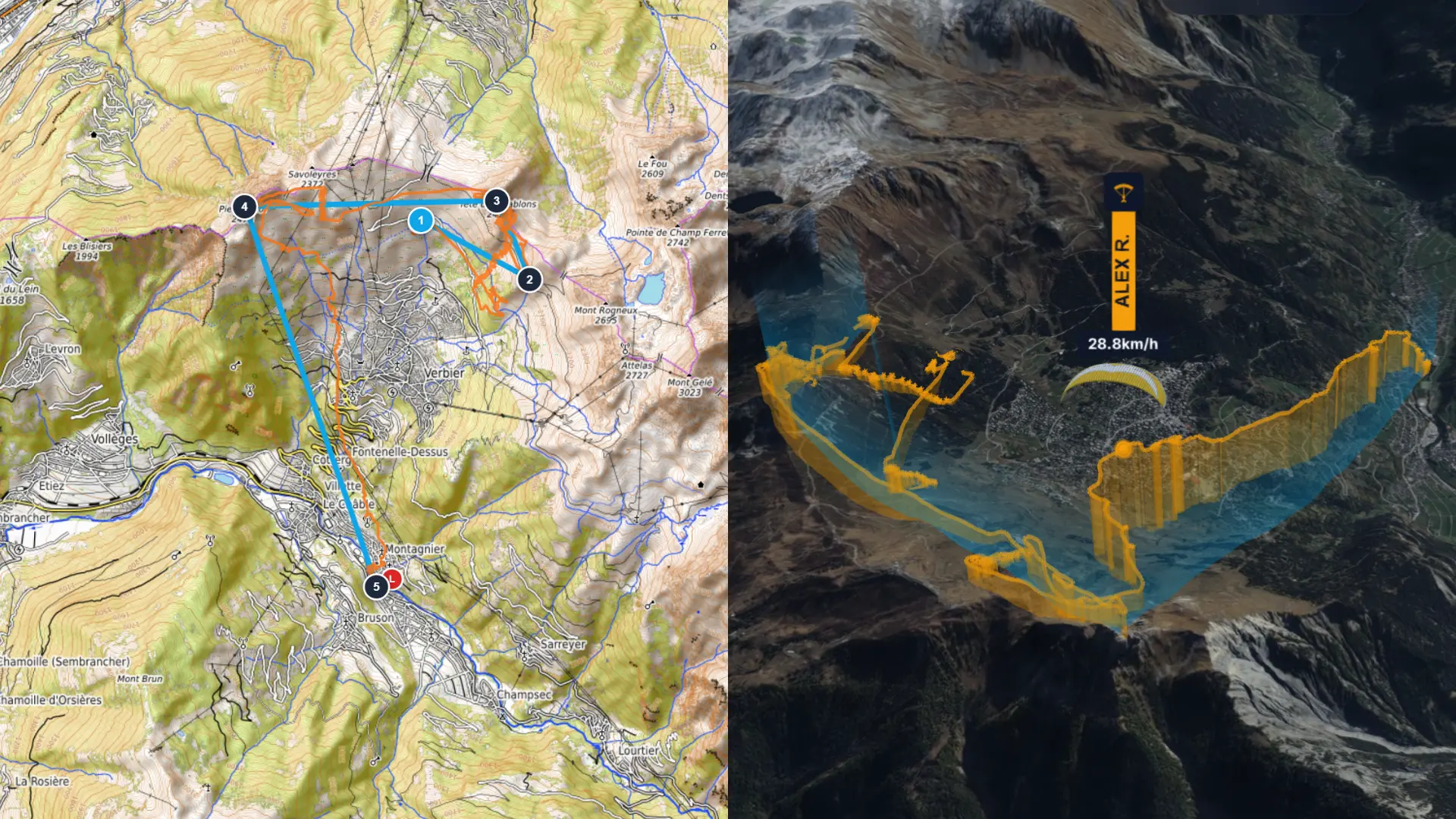
Plan your next cross-country with an XC route planner that supports waypoint placement, FAI triangle design, and 3D terrain preview. The XC planner lets you build reusable tasks, evaluate route feasibility against terrain and airspace, and prepare with confidence before takeoff.
What you get
- Full XC route planner with drag-and-drop waypoint placement on the 3D map.
- FAI triangle designer with automatic distance calculation and sector visualization.
- XC planner with terrain-following vertical walls showing route altitude profile.
- Reusable task library to save and share your favorite XC route planner configurations.
- Integration with thermal and airspace overlays for informed route design.
Why it matters for you
- Turns XC route planning from guesswork into a structured, visual preparation process.
- FAI triangle optimization helps you maximize scored distance on competition tasks.
- The XC planner reduces surprises by previewing terrain and obstacles before flight.
- Reusable tasks speed up preparation for repeat flights at familiar sites.
Related features
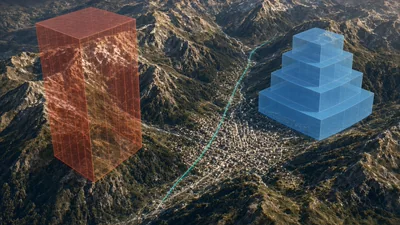
Airspace Route Analysis
Preview terrain and airspace limits along your planned route, then open vertical slices at any point to inspect stacked zones before takeoff.
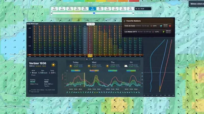
Smart Weather
Check wind, temperature, and conditions quickly with one-click favorite locations, altitude wind layers, and live stations + webcams.
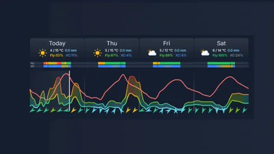
Flyability Score
Should you fly today? Get clear Can I Fly? and Can I do XC? guidance with daily potential and risk context.