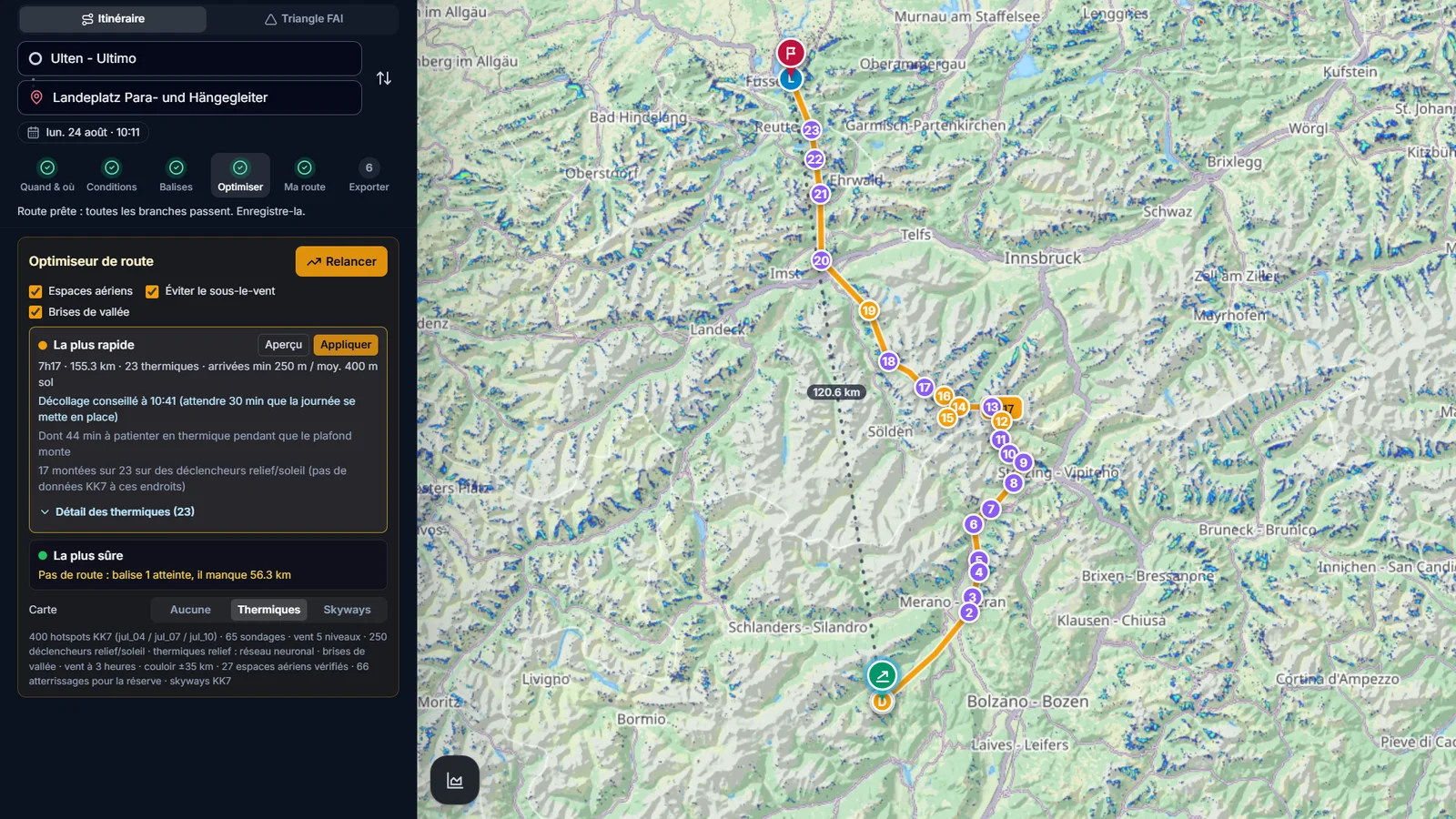
Pick the Hike & Fly travel mode at the top of the planner and the optimizer may land anywhere, walk on real mountain paths and relaunch from summits and takeoffs, over several days. Flying stays in daylight and the night rest follows the X-Alps rules (22:30 to 05:00). It proposes a fastest and a safest plan; for each leg you see the kilometres on foot, the ascent, the walking time and the relaunch points.
What you get
- Routes mixing flights, walks and relaunches over several days.
- Walking legs measured on OpenStreetMap paths, with distance, ascent and time.
- Relaunch points on summits and known takeoffs, derived from the terrain.
- Daylight flying and night rest built in, as in the X-Alps.
- A clear message when walking would not be faster and the whole route stays in the air.
Why it matters for you
- Prepare a vol-bivouac or a race day with a realistic mix of flying and walking.
- See where walking over a pass replaces a crossing you cannot fly.
- The same weather, thermal and glider models as the route optimizer.
Related features
Route Optimizer
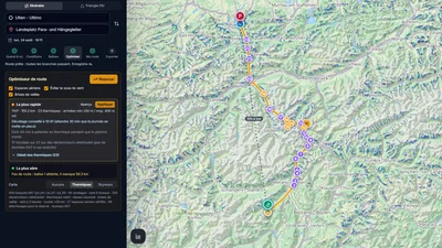
Place your turnpoints: XCviewer finds the best route and every climb for the day, the time and your glider.
Where to Fly: XC Zones
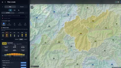
The cross-country potential of every Alpine valley, day by day, for your glider.
Thermal Model (neural network)
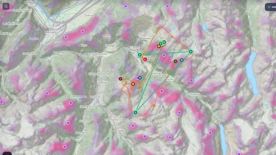
See where thermals are likely to trigger, by season and time of day, even where few pilots have flown.