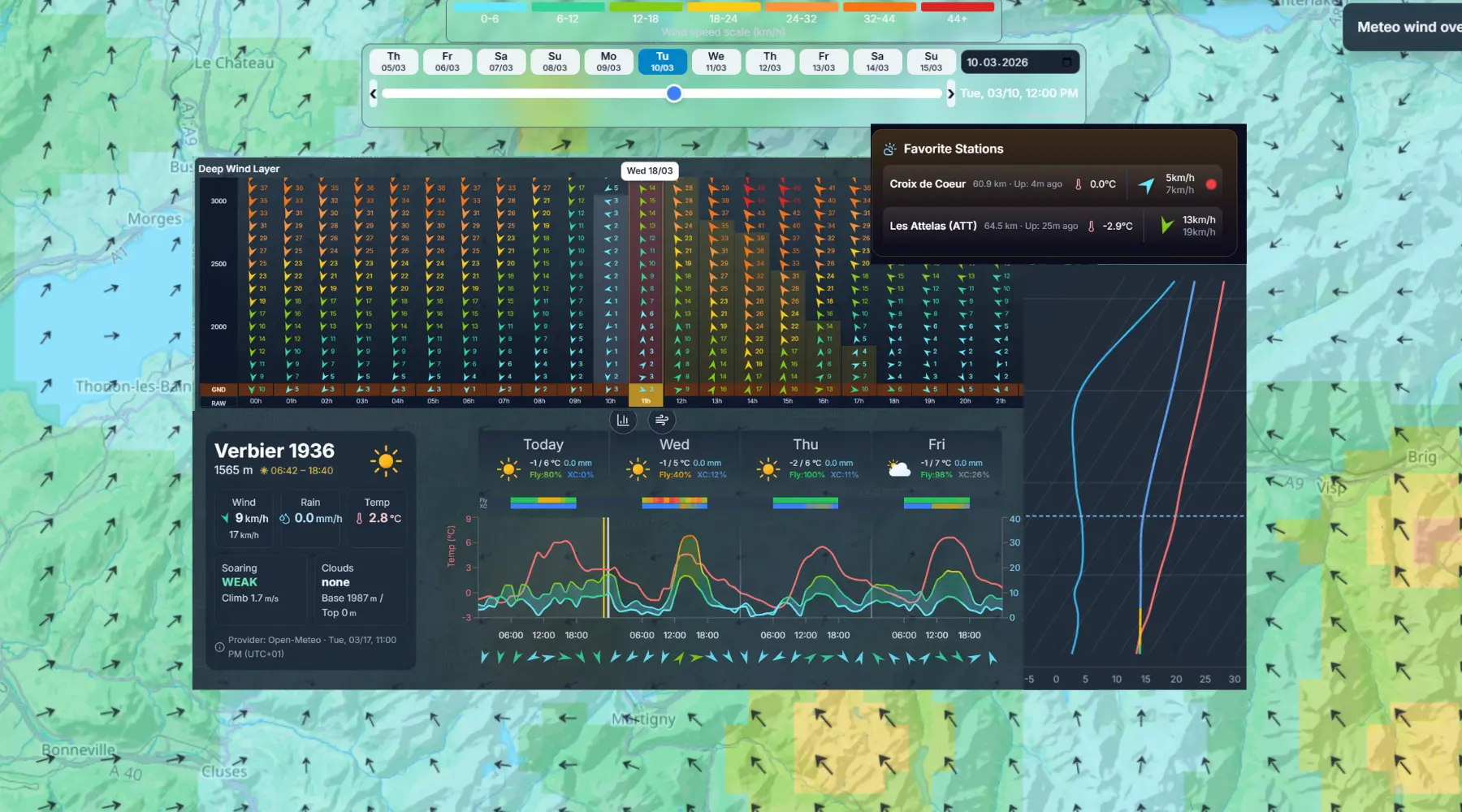
Build a faster and safer pre-flight routine with weather intelligence in one place: forecast wind and temperature, deep wind map by altitude layer, favorite locations available in one click from your dashboard, and live validation with stations and webcams before takeoff.
What you get
- Multi-parameter forecast: wind, gusts, temperature, cloud base, and key soaring indicators.
- Layer-by-layer wind map at different altitudes to understand drift, shear, and route impact.
- Save favorite locations and open them instantly from your dashboard.
- Integrated live station data and webcams for real-time validation before launch.
Why it matters for you
- Faster pre-flight routine with all weather signals in one place.
- Better tactical choices for takeoff time, glide lines, and safe alternates.
- More confidence by comparing model forecast vs. live observed conditions.
Related features
Route Planner & FAI Triangles
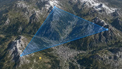
Plan routes and reusable FAI triangles, then visualize them in 3D with terrain-following walls for realistic task preparation.

Airspace Route Analysis
Preview terrain and airspace limits along your planned route, then open vertical slices at any point to inspect stacked zones before takeoff.
Flyability Score
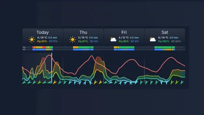
Should you fly today? Get clear Can I Fly? and Can I do XC? guidance with daily potential and risk context.