- 1
Show the thermal model
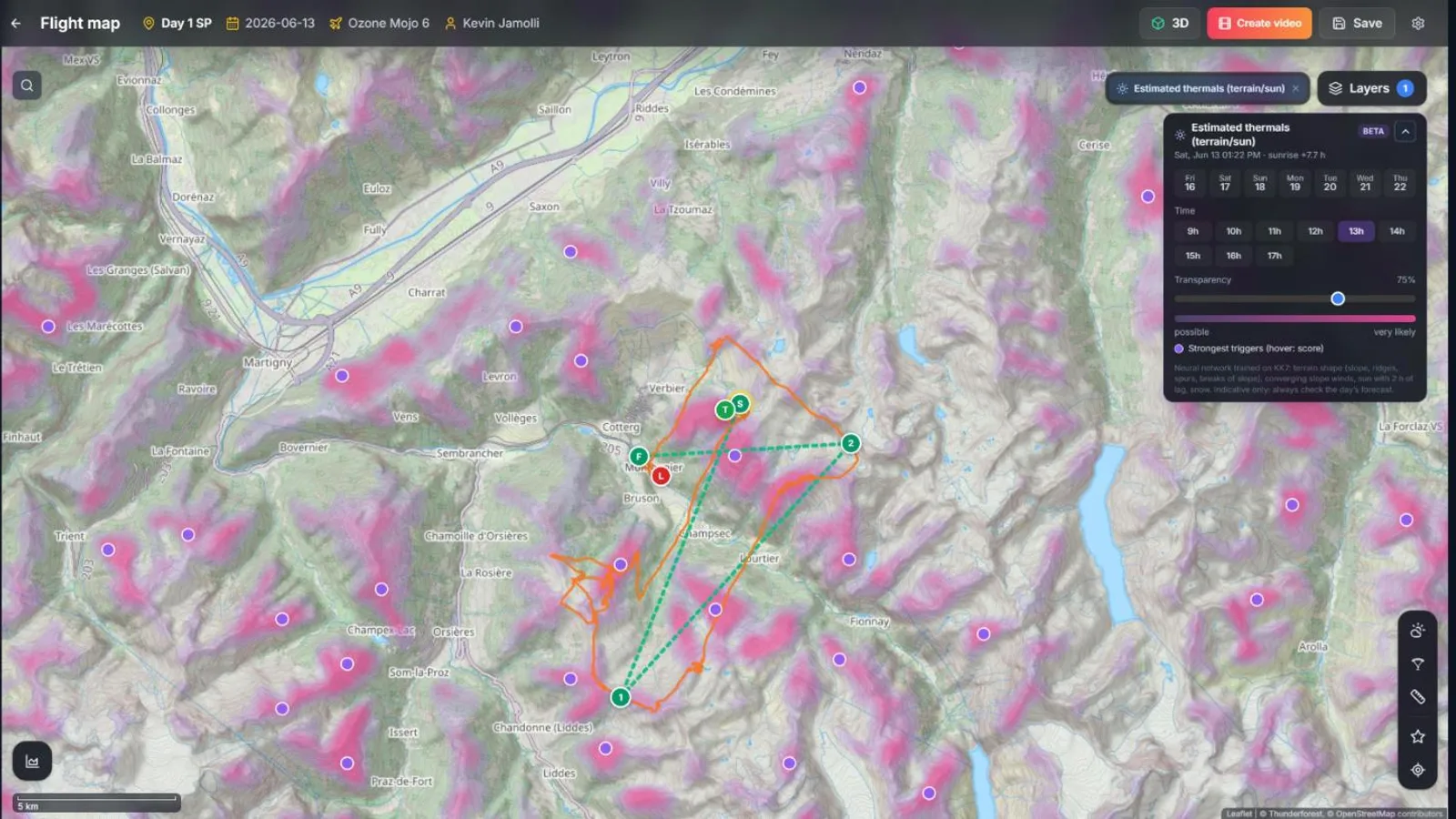
In the Route Planner, open Layers and turn on Estimated thermals. Zoom to a regional scale: XCviewer computes the likely triggers for the view on a 150 m grid.
Pick the day and the time: the map follows the sun through the day and the seasons.
- 2
Check the valley breezes
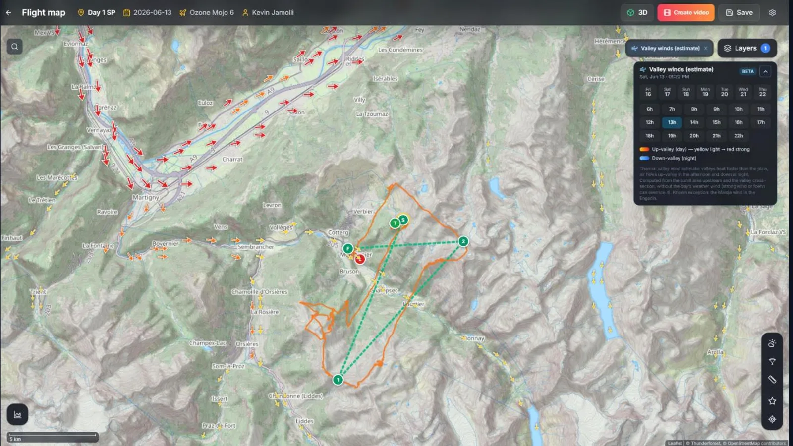
Turn on Valley winds. Arrows show the up-valley breeze in the afternoon (light yellow to strong red) and the down-valley wind at night.
Hover an arrow to read its speed. Plan your glides with the breeze, and land into it.
- 3
Look for foehn and waves
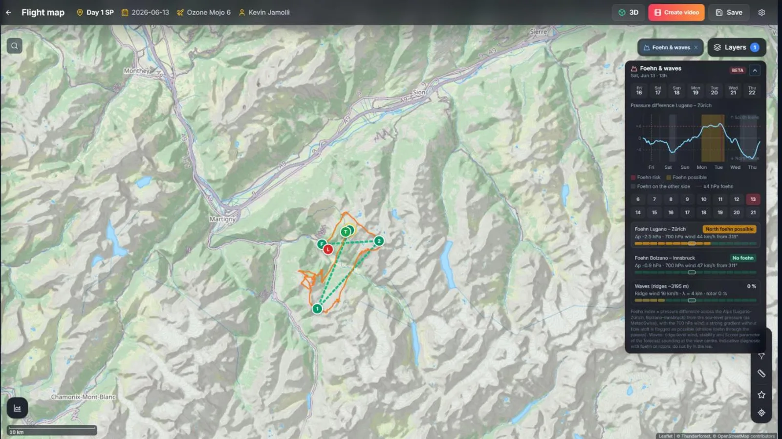
Turn on Foehn & waves, free for everyone. The panel shows the pressure difference across the Alps and the wind at 700 hPa, and the map highlights the lee areas exposed to rotors.
When foehn is forecast, the optimizer warns you and cancels the valley breezes.
A strong foehn gradient means no flying in the lee valleys, even if it looks calm at takeoff.
Frequently asked questions
How does the thermal model work?
It is a small neural network trained on the KK7 thermal maps of 25 heavily flown regions. It uses the shape of the terrain, sun exposure with a delay, converging slope winds, valley breezes and snow, by season and time of day.
Does it work outside the Alps?
It was trained on the Alps, the Pyrenees, the Jura, the Vosges, the Black Forest, the Massif Central, Spain, Italy, Slovenia, Germany and the UK, and tested on regions it never saw. It works best in mountains and hills.
Can these models tell me that a day is safe?
No. They show where and when to expect thermals, breezes or foehn from terrain, sun and forecasts. The decision to fly stays yours: check the official forecast and the conditions on site.