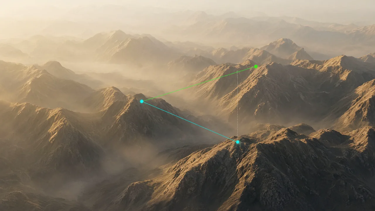
Use the built-in measuring tool to drop markers, calculate distances, and verify glide ratios directly inside the 3D view. Whether you need distance measurement between waypoints, terrain clearance checks, or approach angle analysis, this tool gives you precise spatial awareness for planning and review.
What you get
- Interactive measuring tool with point-to-point distance measurement in the 3D view.
- Glide ratio calculator between any two markers accounting for terrain elevation.
- Terrain clearance measurement to verify safe altitude margins along your route.
- Multi-segment distance measurement for total route length calculations.
- Altitude difference display alongside horizontal distance for complete spatial context.
Why it matters for you
- Gives precise distance measurement data for informed planning and review.
- Verifies glide ratios to realistic landing options using the built-in measuring tool.
- Helps assess terrain clearance and safety margins before and after flights.
- Replaces guesswork with accurate spatial data directly in the 3D environment.
Related features

Flight Comparison in Sync
Replay multiple pilots side-by-side to compare tactics, match thermals, and learn from every glide.
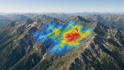
Thermal Overlay by KK7
Layer KK7 thermal hotspots over your route to understand convection strength and plan efficient climbs.
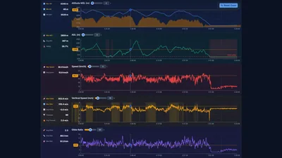
Detailed Graph Analysis
Link altitude, vario, wind, and energy graphs with precise timeline scrubbing for data-driven insights.