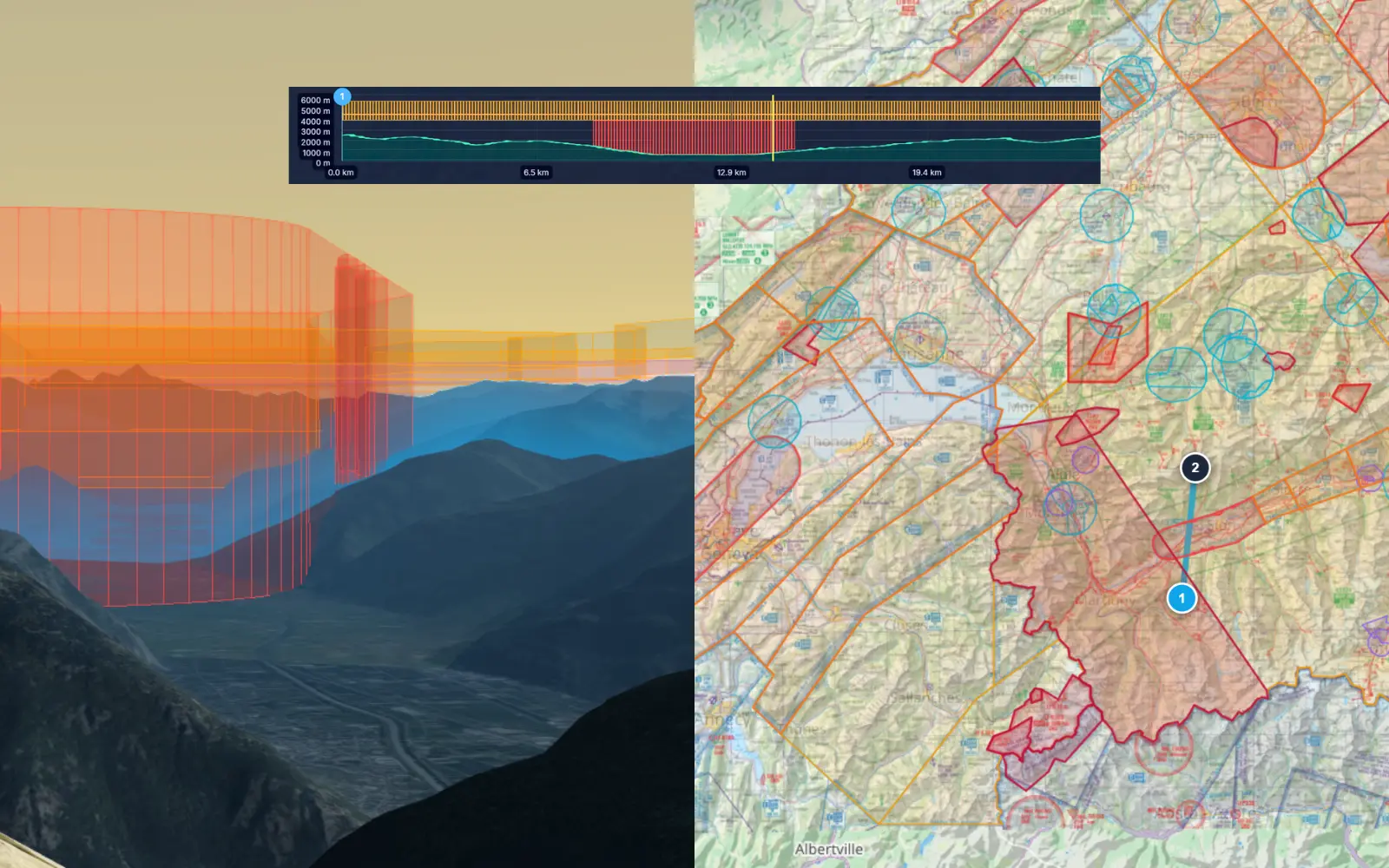
Navigate complex airspace with an interactive airspace map that overlays controlled zones, restricted areas, and altitude limits on your flight and route. The airspace visualization engine lets you open vertical slices at any point to inspect stacked zones, ensuring you stay legal and safe.
What you get
- Interactive airspace map with color-coded controlled, restricted, and danger zones.
- Airspace visualization overlaid on both 2D and 3D map views.
- Vertical slice tool to inspect stacked airspace layers at any point along your route.
- Altitude ceiling indicators showing maximum legal altitude along your planned path.
- Airspace proximity warnings for routes that approach or intersect restricted zones.
- Regularly updated airspace map data sourced from official aviation databases.
Why it matters for you
- Keeps you legal and safe with clear airspace visualization before takeoff.
- Reveals stacked airspace layers that are difficult to understand from charts alone.
- Reduces airspace infringement risk with proactive route analysis.
- Essential airspace map tool for flying near controlled zones and competition areas.
Related features
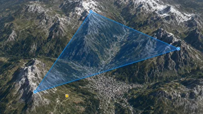
Route Planner & FAI Triangles
Plan routes and reusable FAI triangles, then visualize them in 3D with terrain-following walls for realistic task preparation.
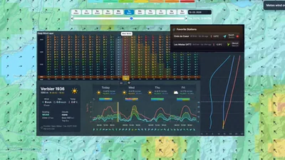
Smart Weather
Check wind, temperature, and conditions quickly with one-click favorite locations, altitude wind layers, and live stations + webcams.
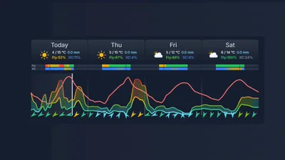
Flyability Score
Should you fly today? Get clear Can I Fly? and Can I do XC? guidance with daily potential and risk context.