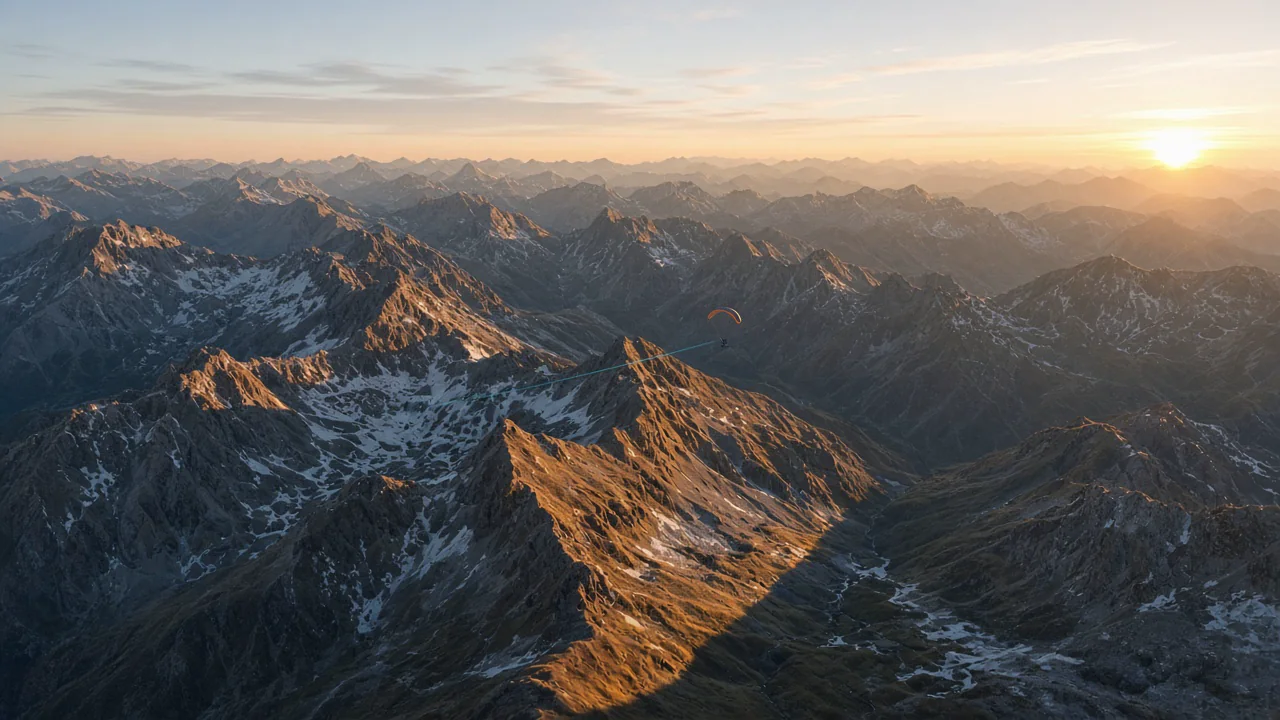
XCviewer renders your tracklog in 3D on high-resolution satellite imagery and elevation data, so ridges, valleys and lee sides are exactly where they were. Lighting follows the sun position at the time of your flight, and the camera can orbit freely or follow your glider through every thermal and glide. Airspace volumes, the thermal map and track colors can be layered on top of the 3D scene.
What you get
- Track rendered on real terrain and satellite imagery, worldwide.
- Sun-synced lighting and shadows matching the time of your flight.
- Free orbit camera and follow mode behind your glider.
- Live panel with altitude, height above ground, speed and climb rate.
- Optional layers: 3D airspace, thermal map and track colorization.
Why pilots use it
- Understand terrain decisions you cannot read on a flat 2D map.
- Review where you found lift relative to ridges, sunny slopes and valleys.
- Show friends who do not fly what your flight really looked like.
Related features
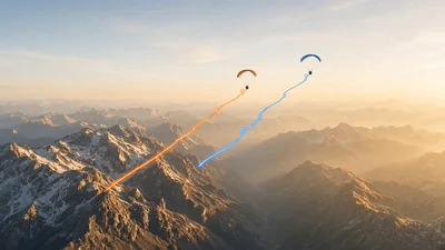
Flight Comparison in Sync
Replay multiple pilots side-by-side to compare tactics, match thermals, and learn from every glide.
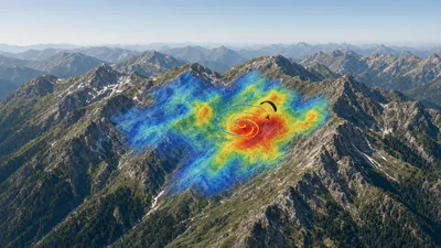
Thermal Overlay by KK7
Layer KK7 thermal hotspots over your route to understand convection strength and plan efficient climbs.
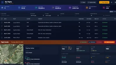
Smart Flight Collection
Organize your flights in a personal collection, relive your adventures, and share interactive replays seamlessly with friends.