- 1
Check the weather and flyability
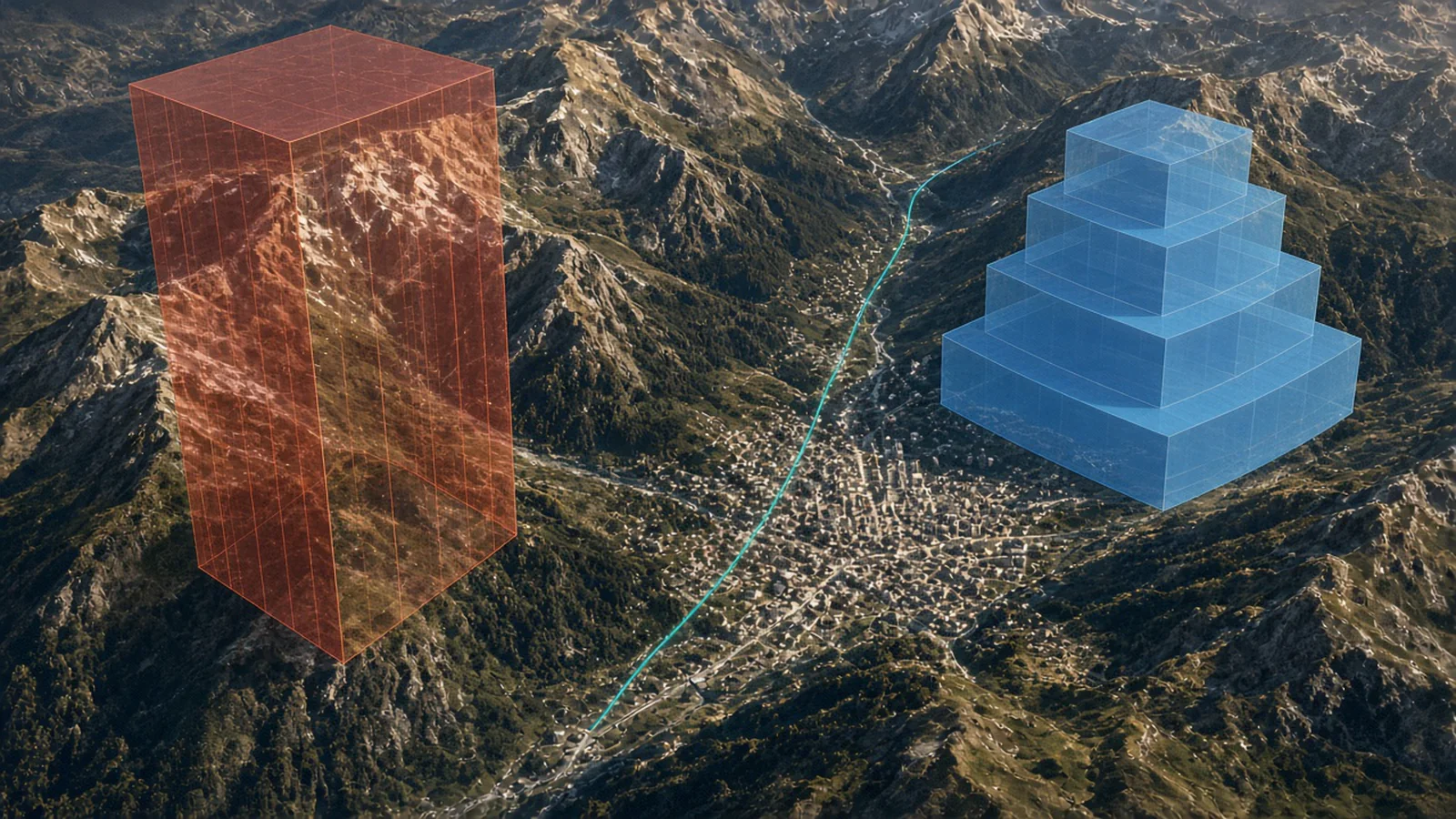
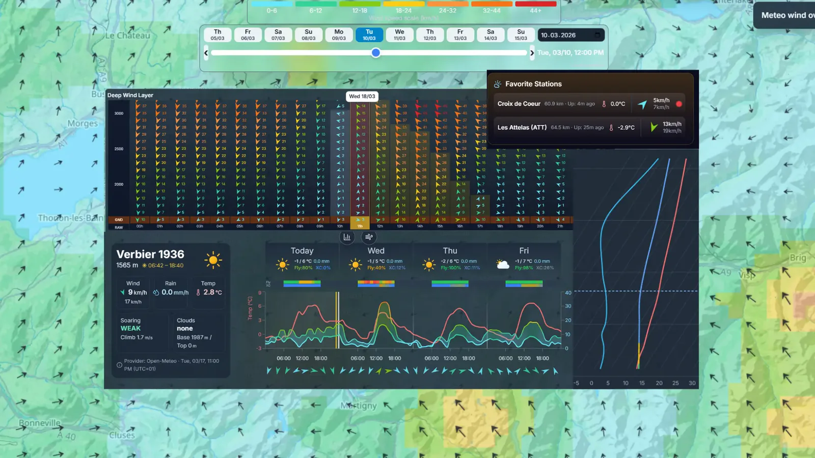
Open Weather and search for your takeoff or pick one of your favorite sites.
The forecast shows wind at altitude, thermal strength and a flyability score for each day, so you can choose the best day for a big flight.
- 2
Draw your route
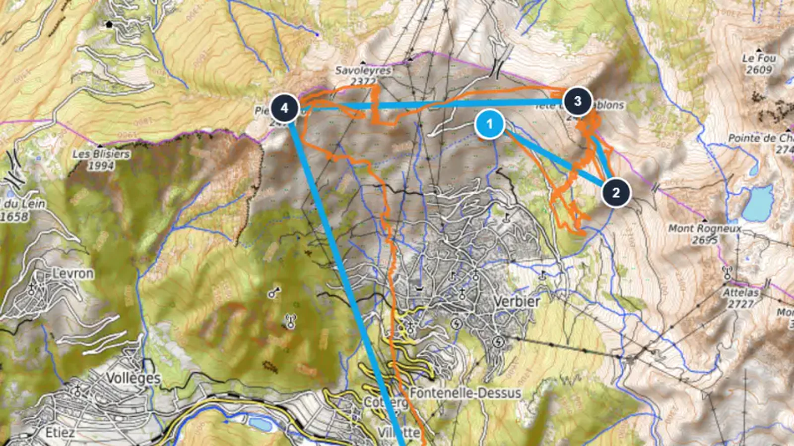
Open the Route Planner and click on the map to add turnpoints. The distance and the optimized XC score update as you go.
Drag turnpoints to adjust the route and see how far you need to fly to reach your goal.
- 3
Build an FAI triangle
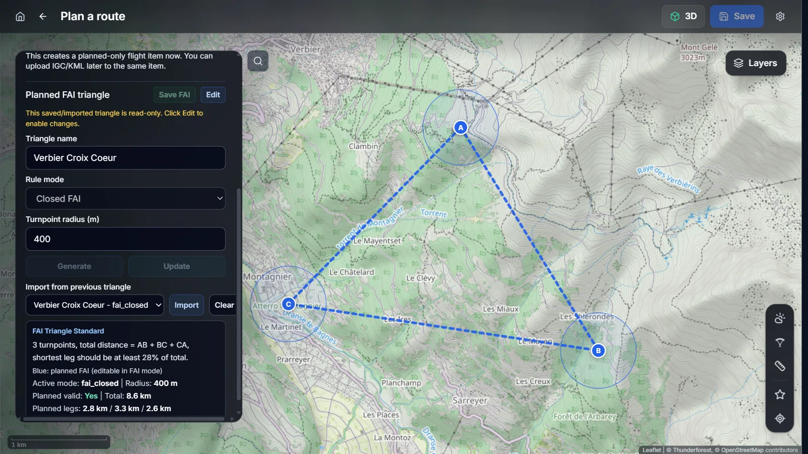
Switch to FAI mode to plan a closed triangle. XCviewer shows the zones where each turnpoint must be placed to keep the triangle valid.
Adjust the triangle until it fits the terrain and the wind of the day.
Smaller, valid FAI triangles often score better than big flat ones.
- 4
Verify the airspace
Open Layers and turn on Airspace to display the controlled zones, restricted areas and their altitude limits along your route.
Click an airspace to see its details and make sure your route stays clear before you take off.